Directions to Glenlaurel
FROM CLEVELAND/AKRON/CANTON
Take I-77S to Cambridge and I-70W to the U.S. 37E /Lancaster exit (#126). Follow U.S. 37 to Lancaster, then turn right onto U.S. 22 for 4 blocks, then left onto U.S. 33E. Continue on U.S. 33 for 12 miles to the St. Rt. 180W/Laurelville exit. *1
*1 Turn right onto St. Rt. 180W and drive 4.8 miles. At the bottom of a steep, curvy hill, turn left onto Mt. Olive Rd. at the Glenlaurel sign. The entrance to Glenlaurel is on your left 1/2mile up and over the hill on Mt. Olive Rd. left at the big rock. *1 Alternate Snow Route: Turn right onto St. Rt. 180W and drive 4 miles. When you come to St. Rt. 678 turn left. Travel 1.5 miles. Turn right onto Mount Olive Rd immediately before the cemetery. Then turn right at the Glenlaurel sign and you will soon see our Hocking Hills bed and breakfast.
HOCKING HILLS DIRECTIONS FROM CLEVELAND/AKRON/CANTON ALTERNATE ROUTE
Take I-71 SOUTH toward COLUMBUS, I-270 EAST, Exit 26 toward WHEELING, continue on I-270 (Becomes 270 S), take U.S.33 EAST, exit 46 toward LANCASTER. When approaching Lancaster, take the bypass. To take the bypass, stay in the left lane on 33 rather than taking the Lancaster Business Route. Continue on U.S. 33 to the St. Rt. 180W/Laurelville exit. *2
*2 Turn right onto St. Rt. 180W and drive 4.8 miles. At the bottom of a steep, curvy hill, turn left onto Mt. Olive Rd. at the Glenlaurel sign. The entrance to Glenlaurel is on your left 1/2mile up and over the hill on Mt. Olive Rd. left at the big rock. *2 Alternate Snow Route: Turn right onto St. Rt. 180W and drive 4 miles. When you come to St. Rt. 678 turn left. Travel 1.5 miles. Turn right onto Mount Olive Rd immediately before the cemetery. Then turn right at the Glenlaurel sign.
HOCKING HILLS DIRECTIONS FROM COLUMBUS
Take Rt 33E from I-70E or I-270SE toward Lancaster. When approaching Lancaster, take the bypass. To take the bypass, stay in the left lane on 33 rather than taking the Lancaster Business Route. Continue on U.S. 33 to the St. Rt. 180W/Laurelville exit.*3
*3 Turn right onto St. Rt. 180W and drive 4.8 miles. At the bottom of a steep, curvy hill, turn left onto Mt. Olive Rd. at the Glenlaurel sign. The entrance to Glenlaurel is on your left 1/2mile up and over the hill on Mt. Olive Rd. left at the big rock. *3 Alternate Snow Route: Turn right onto St. Rt. 180W and drive 4 miles. When you come to St. Rt. 678 turn left. Travel 1.5 miles. Turn right onto Mount Olive Rd immediately before the cemetery. Then turn right at the Glenlaurel sign.
FROM DAYTON
Take U.S. 35E to the St. Rt. 159/Bridge St. exit in Chillicothe. Exit left onto St. Rt. 159 N. for 5 miles to St. Rt. 180 E. Turn right onto St. Rt. 180 and drive 12 miles to Laurelville. From Laurelville, go 11 miles farther on St. Rt. 180.*4
*4 Turn right at the Glenlaurel sign onto Mt. Olive Rd. The entrance to Glenlaurel is on your left 1/2 mile up and over the hill on Mt. Olive Rd. left at the big rock. *4 Alternate Snow Route: On your right you will see a sign for Glenlaurel. Pass this sign and travel around the curve and up the hill. Once you go over the hill you will come to a sign for St. Rt. 678. Turn right. Travel 1.5 miles. Turn right onto Mount Olive Rd immediately before the cemetery. Then turn right at the Glenlaurel sign.
FROM CINCINNATI EAST
Take St. Rt. 32E, the Appalachian Highway, to Piketon. Turn left onto U.S. 23N for about 25 miles to the St. Rt. 159 exit just north of Chillicothe. Drive three miles on St. Rt. 159N to St. Rt. 180E. Turn right onto St. Rt. 180 and drive 12 miles to Laurelville. From Laurelville, go 11 miles farther on St. Rt. 180. *5
*5 Turn right at the Glenlaurel sign onto Mt. Olive Rd. The entrance to Glenlaurel is on your left a 1/2 mile up and over the hill on Mt. Olive Rd. left at the big rock. *5 Alternate Snow Route: On your right you will see a sign for Glenlaurel. Pass this sign and travel around the curve and up the hill. Once you go over the hill you will come to a sign for St. Rt. 678. Turn right. Travel 1.5 miles. Turn right onto Mount Olive Rd immediately before the cemetery. Then turn right at the Glenlaurel sign.
FROM CINCINNATI NORTH OR WEST
Take I-71N to the U.S. 35 exit near Washington Court House. Exit right onto U.S. 35E and continue to St. Rt. 159/Bridge St. exit in Chillicothe. Exit left onto St. Rt. 159 N. for 5 miles to St. Rt. 180 E. Turn right onto St. Rt. 180 and drive 12 miles to Laurelville. From Laurelville, go 11 miles farther on St. Rt. 180. *6
*6 Turn right at the Glenlaurel sign onto Mt. Olive Rd. The entrance to Glenlaurel is on your left a 1/2 mile up and over the hill on Mt. Olive Rd. left at the big rock. *6 Alternate Snow Route: On your right you will see a sign for Glenlaurel. Pass this sign and travel around the curve and up the hill. Once you go over the hill you will come to a sign for St. Rt. 678. Turn right. Travel 1.5 miles. Turn right onto Mount Olive Rd immediately before the cemetery. Then turn right at the Glenlaurel sign.
FROM PITTSBURGH
Take I-79S to I-70W into Ohio. Continue on 1-70W to the U.S. 37E/Lancaster(#126) exit. Follow U.S. 37 to Lancaster; turn right on U.S. 22 for 4 blocks, then turn left onto U.S. 33 East. Continue on U.S. 33 for 12 miles to the St. Rt. 180W/Laurelville exit. *7 & *8
*7 Turn right onto St. Rt. 180W and drive 4.8 miles. At the bottom of the steep, curvy hill, turn left onto Mt. Olive Rd. at the Glenlaurel sign. The entrance to Glenlaurel is on your left a 1/2 mile up and over the hill on Mt. Olive Rd. left at the big rock. *7 Alternate Snow Route: Turn right onto St. Rt. 180W and drive 4 miles. When you come to St. Rt. 678 turn left. Travel 1.5 miles. Turn right onto Mount Olive Rd immediately before the cemetery. Then turn right at the Glenlaurel sign.
FROM ATHENS
Take Rt. 33 west through Nelsonville, past Logan to the Rt. 180/Laurelville exit. *8
*8 Turn left onto Rt. 180 and go 4.8 miles. At the bottom of the steep, curvy hill, turn left at the Glenlaurel sign onto Mt. Olive Road. Our drive is 1/2 mile up Mt. Olive Rd. left at the big rock. *8 Alternate Snow Route: Turn left onto Rt. 180W and drive 4 miles. When you come to St. Rt. 678 turn left. Travel 1.5 miles. Turn right onto Mount Olive Rd immediately before the cemetery. Then turn right at the Glenlaurel sign.
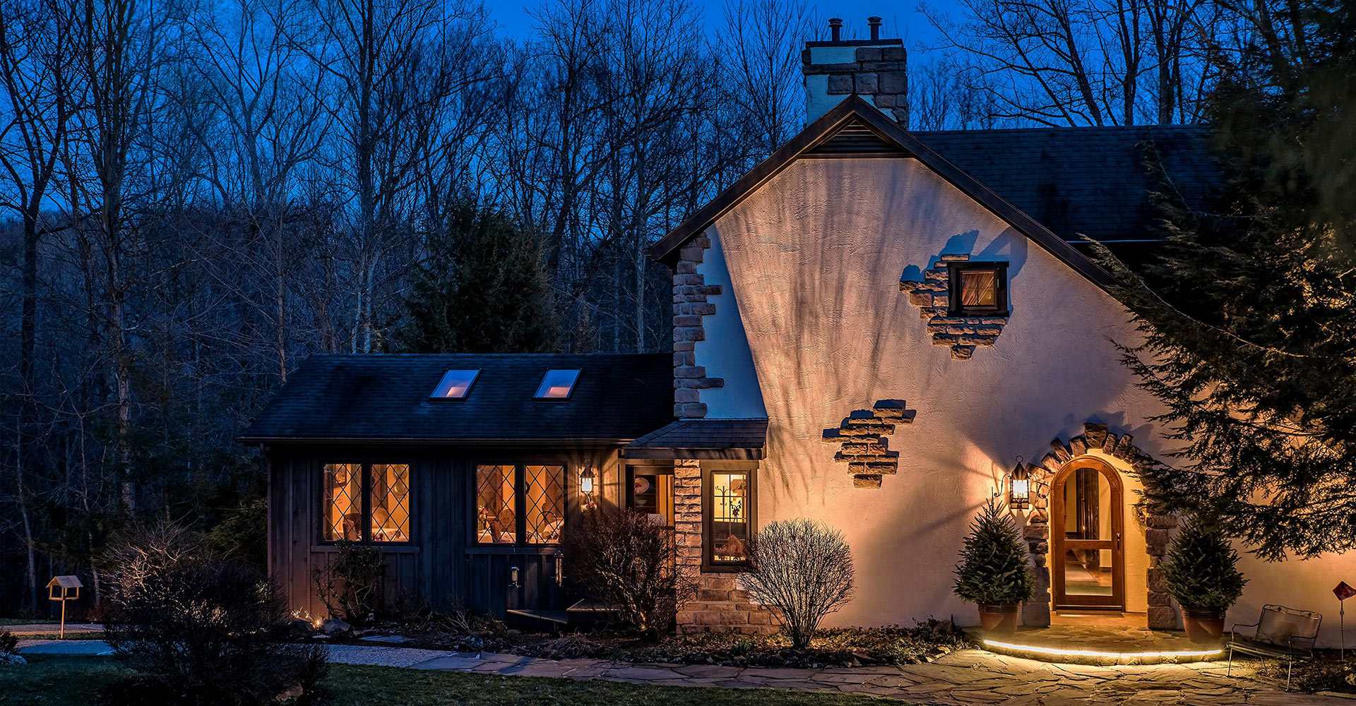
Glenlaurel has a helipad for those traveling by helicopter. For questions about our Hocking Hills accommodations, please call us at 800.809.REST (7378).